About the Tool
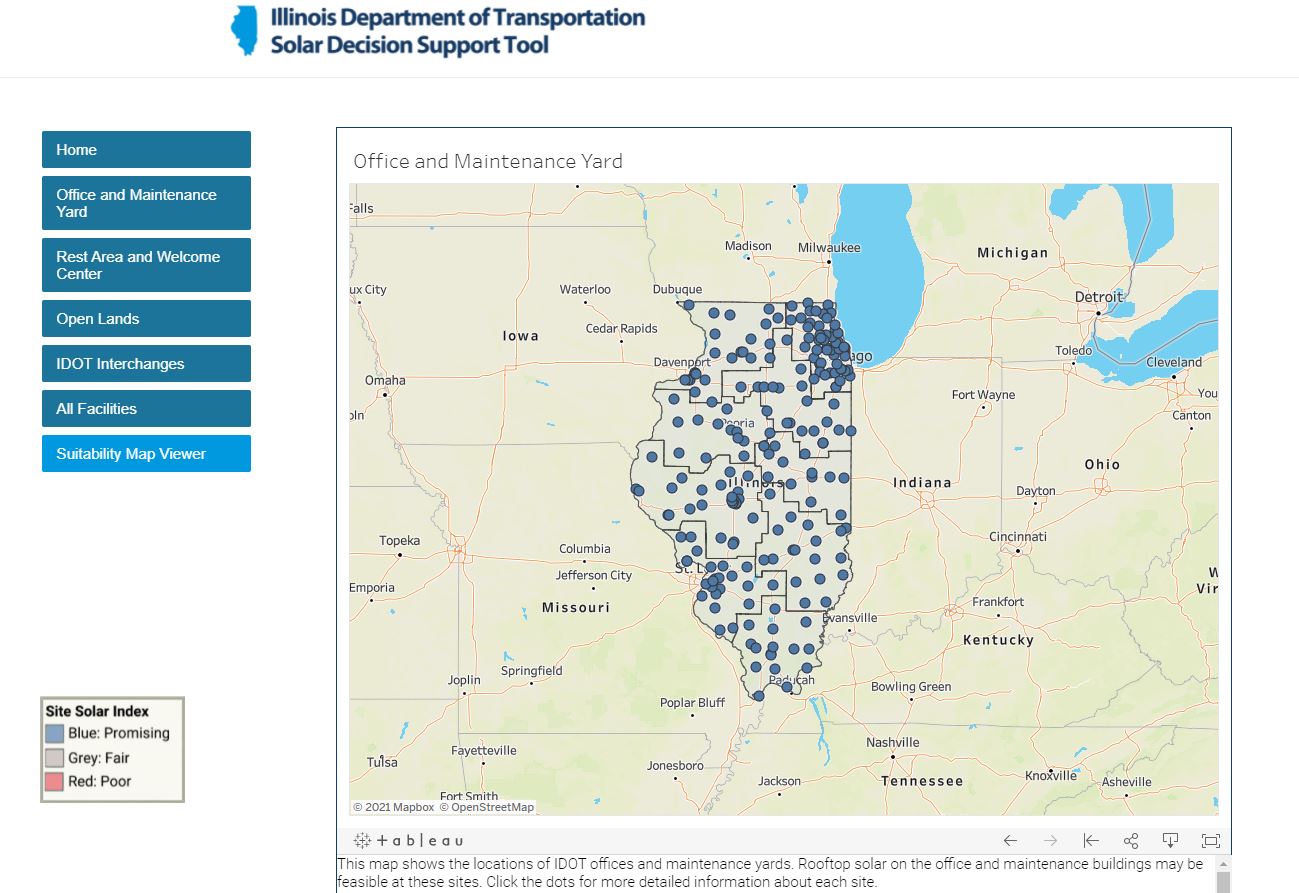
This tool was created to facilitate decision making regarding solar development on IDOT properties. The tool addresses the technical and financial feasibility of utilizing solar panels at any IDOT property. In addition to assessing the suitability of each site for solar (based on site conditions and administrative constraints), the tool also proposes a solar array size to meet electrical consumption at the site, and estimates the cost of this solar array.
The tool has six maps: 1) Office and Maintenance Yards, 2) Rest Areas and Welcome Centers, 3) Open Lands, 4) Interchanges, 5) a Combined Map of all facility categories, and 6) a Suitability Map Viewer that shows technical solar suitability results across the state and may provide useful localized context for the suitability ratings of IDOT sites.
How to use the tool
- Click on one of the buttons on the left to select a map type.
- Zoom in to view a particular location or IDOT district, or enter the address of a site using the Search Map button (top left magnifying glass)
- Click on the individual dots to learn more about each site.
- Using the "NOTE" button, provide any additional information you are aware of about the site that may influence solar feasibility or appropriateness. Types of information to add include, but are not limited to, the presence of trees, site conditions, condition of roof (for roof mounted solar), administrative concerns, or traffic safety concerns. Your input will be saved in a Google Sheet that is viewable and editable for future users of this tool.
- Send overall questions or comments on the tool to Ryan Siegel at rwsiegel@illinois.edu


